Geotechnical Research Group (GRG)
Explore cutting-edge research and engineering expertise in geotechnical engineering, addressing complex ground and infrastructure challenges.
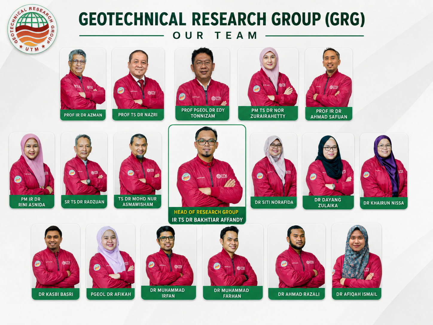
Advanced Technologies Supporting Geotechnical Engineering
Surveying & Monitoring Innovations
GNSS Technology
Enhancing precision in geospatial data collection for accurate terrain analysis.
Robotic Total Station
Automating measurements for efficient and reliable infrastructure monitoring.
Terrestrial Laser Scanning
Capturing high-resolution 3D models for comprehensive site assessments.
Drone Survey
Providing aerial perspectives for rapid and detailed geospatial mapping.
LiDAR Systems
Delivering precise topographic data for advanced geotechnical evaluations.
GIS Integration
Facilitating data management and spatial analysis for informed decision-making.
Connecting Research, Industry, and Professional Practice
Geotechnical Workshop Series
Join our interactive sessions to enhance your skills in geotechnical engineering.
March 15, 2024
FREE
Professional Training Seminar
Gain insights from industry experts on the latest geotechnical techniques.
April 10, 2024
FREE
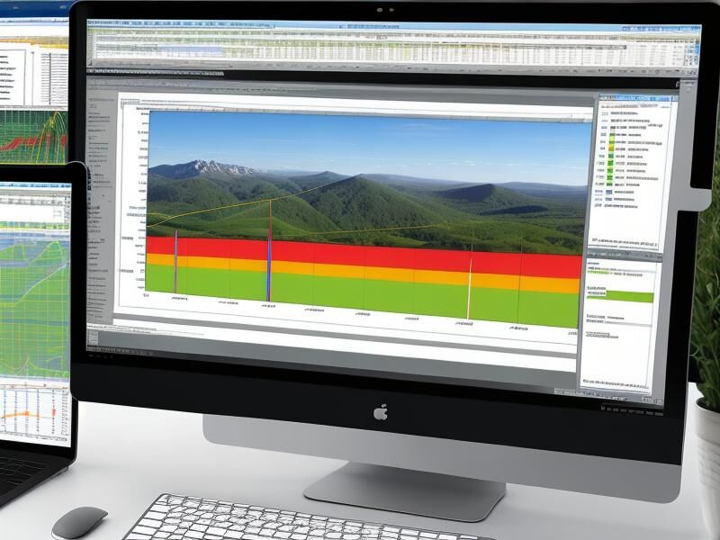
Technical Seminar on Geohazards
Explore strategies for managing and mitigating geohazard risks.
May 5, 2024
FREE

Industry Engagement Conference
Connect with professionals to discuss advancements in geotechnical engineering.
June 20, 2024
FREE
Join Our Geotechnical Research Community
Become a part of the Geotechnical Research Group at UTM and contribute to groundbreaking research tackling the challenges of soil, rock, and geohazards. Collaborate with leading experts and advance your academic career in geotechnical engineering.
Latest Insights and Innovations from GRG
No Results Found
The page you requested could not be found. Try refining your search, or use the navigation above to locate the post.
